

- All products are added to your cart.


C$30.00
(C$30.00 Incl. tax)
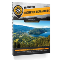
Covering the heart of BC's interior, including the cities of Kamloops, Kelowna, Merritt, and Penticton, this Mapbook is your ultimate guide to camping, hiking, fishing, ATVing, snowmobiling, hunting, cross-country skiing, paddling and more!
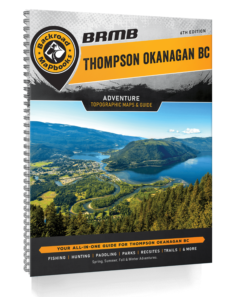
Backroad Map Books Thompson Okanagan BC Mapbook
From the lush forests of EC Manning Provincial Park to the sparkling waters of Okanagan Lake, the arid desert landscape around Osoyoos, the pristine beaches of the Shuswap, and the vast wilderness of Wells Gray Provincial Park, the Thompson Okanagan is an outdoor explorer's paradise.
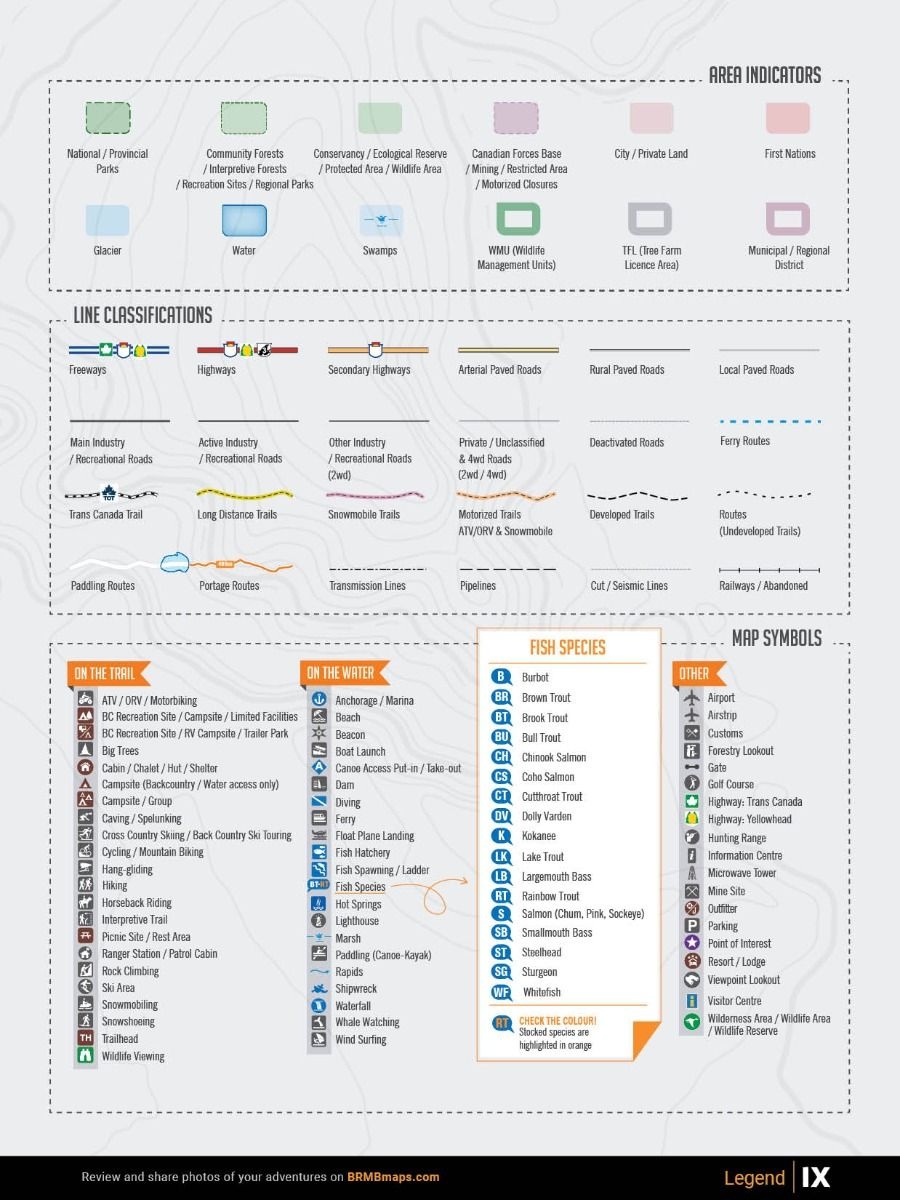
The 6th Edition Thompson Okanagan Backroad Mapbook features several additions and expansions from our last edition. In addition to an updated and expanded Community Profiles section, there have been several additions to the Adventure listings including updated fish stocking and hiking trail charts, new multi-day overland driving routes for off-road enthusiasts, and a new Rock Climbing Adventure section. Our maps now feature private and leased land, labeled sportfish species for lakes and rivers, plus countless new recreation POI's, roads, trails, and paddling routes.
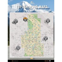
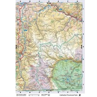
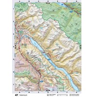
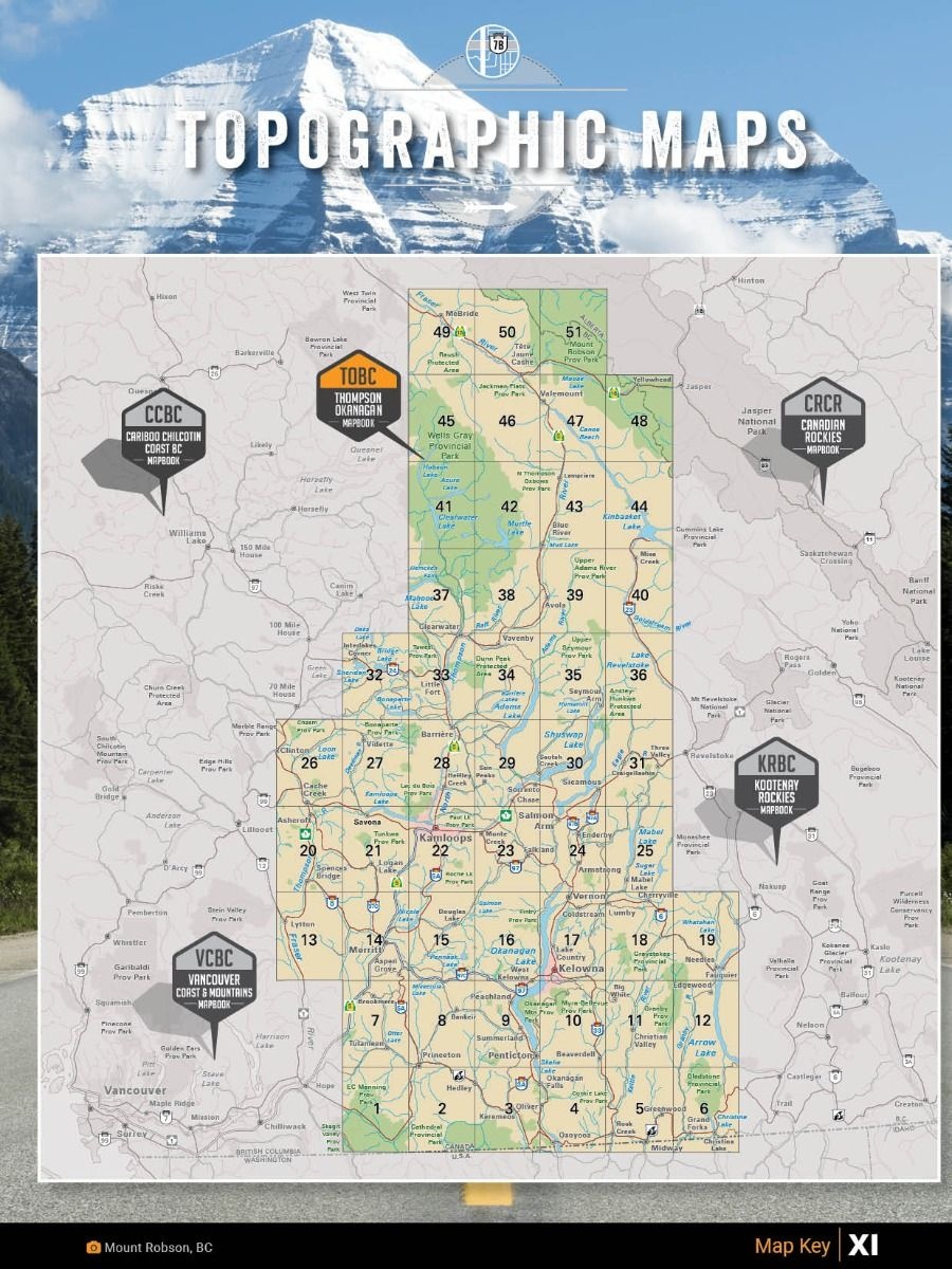
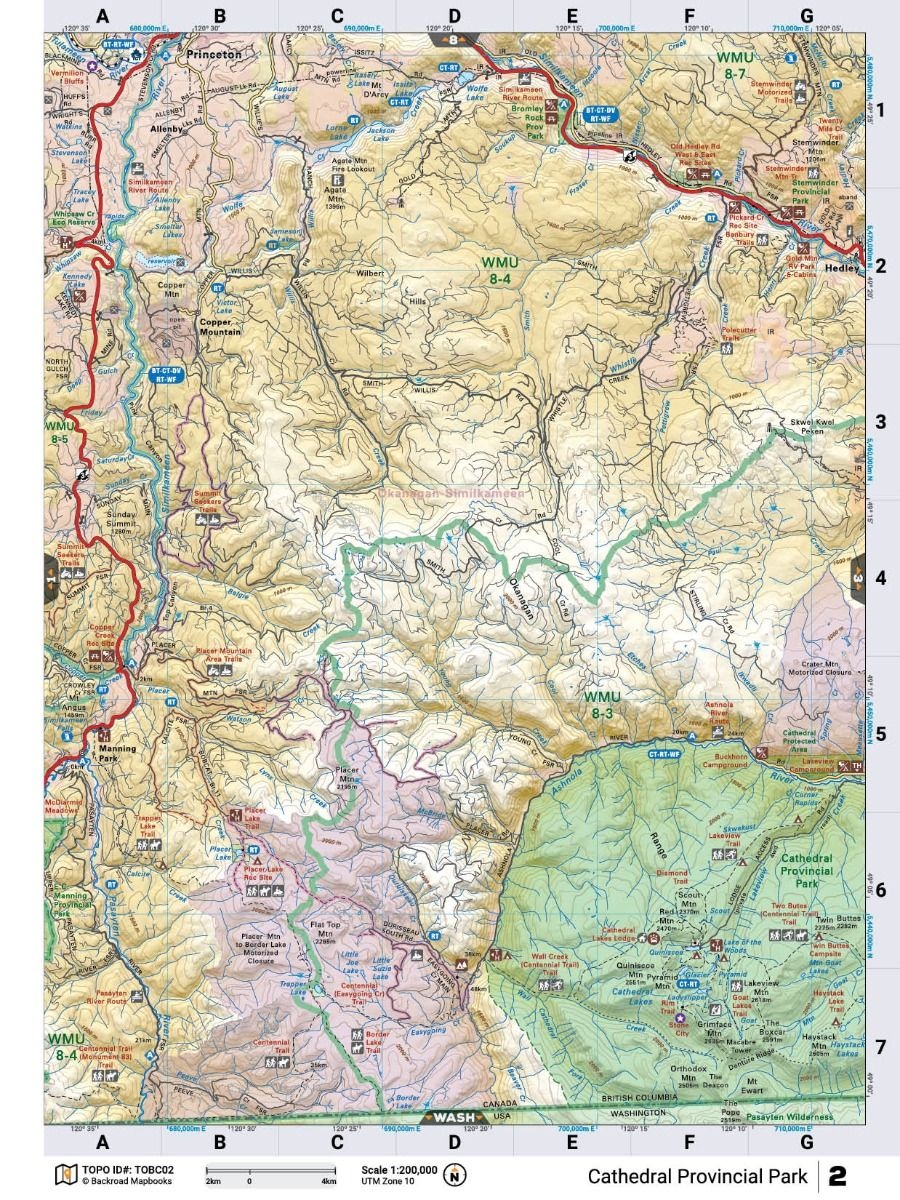
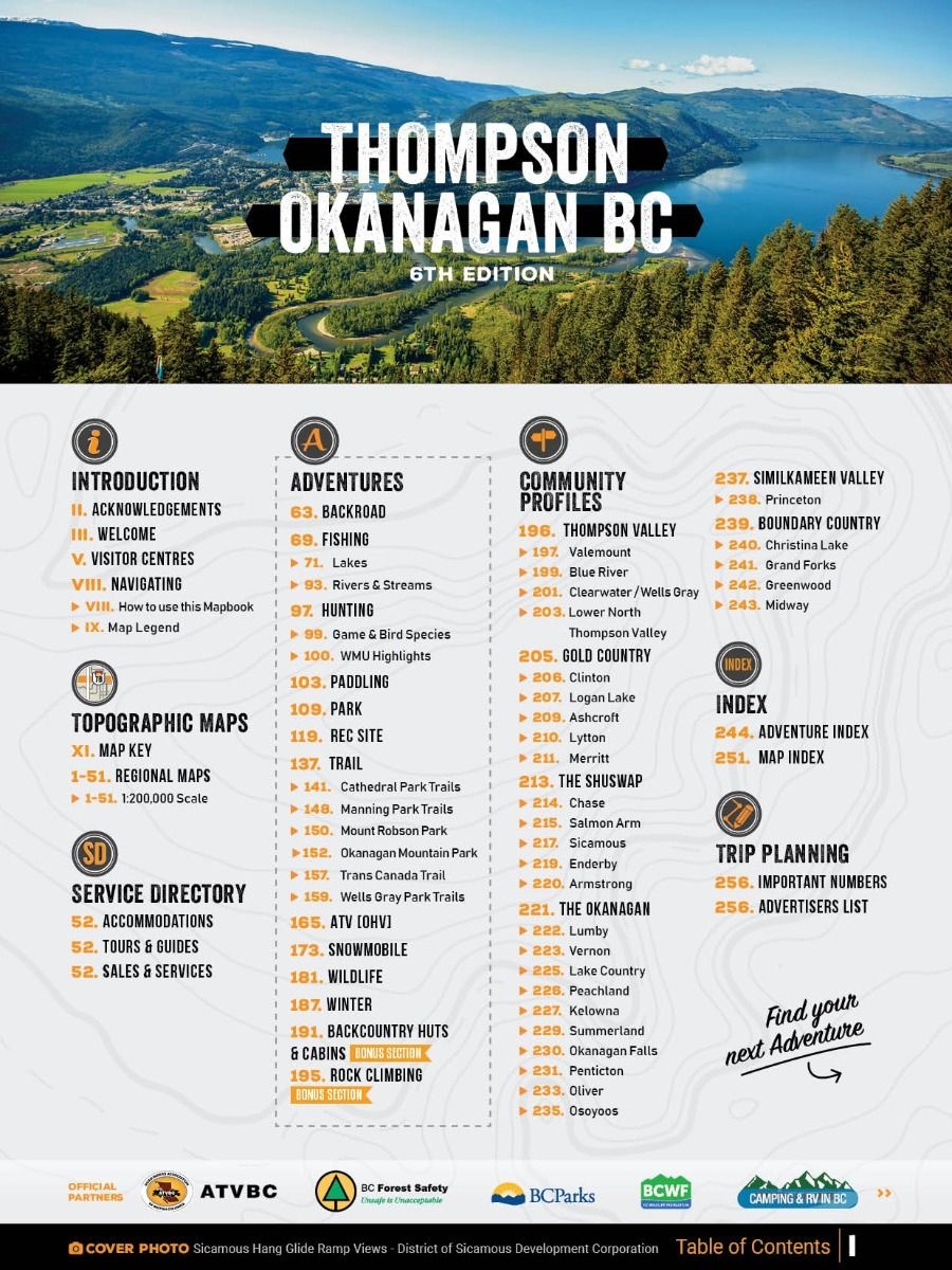
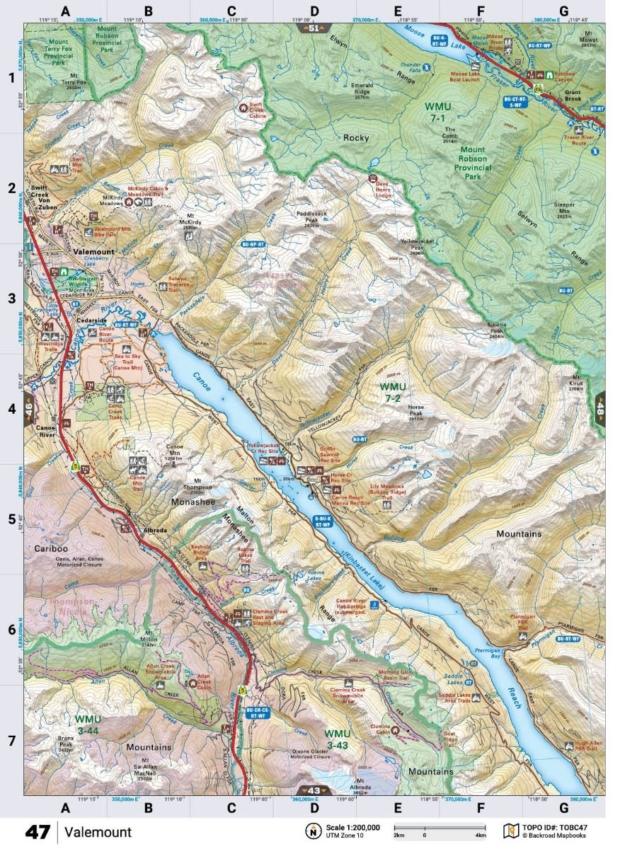
The printed version of the mapbook comes in the convenient 21.5 x 28 cm (8.5 x 11 inch) mapbook format with a heavy-duty spiral-bound cover. The 268-page book includes 51 maps at 1:200,000 scale, along with a dozen Outdoor Adventure sections, a Service Provider Directory, Map and Adventure Index, Trip Planning tools, and more. With over 140,000 kilometers of roads to view including the most complete logging and industrial road coverage available, the books are ideal for navigating on road trips and planning from home.
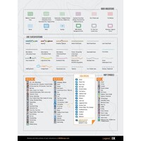
Map Features: Highways, Logging Roads, Land & Water Features, Parks, Adventure Points of Interest, Campgrounds, Hiking Trails, Motorized Trails, Paddling Routes, Hunting & Fishing Areas, Winter Recreation, and more.
Areas Covered: Cache Creek, Clearwater, Grand Forks, Kamloops, Kelowna, McBride, Merritt, Penticton, Princeton, Salmon Arm, Savona, Valemount, Vernon, & more.
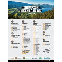
Print Features
- Map Key & Legend
- Topographic Maps: 51 @ 1:200,000 Scale Maps
- All-Inclusive Adventure Section
- Backroad Attractions
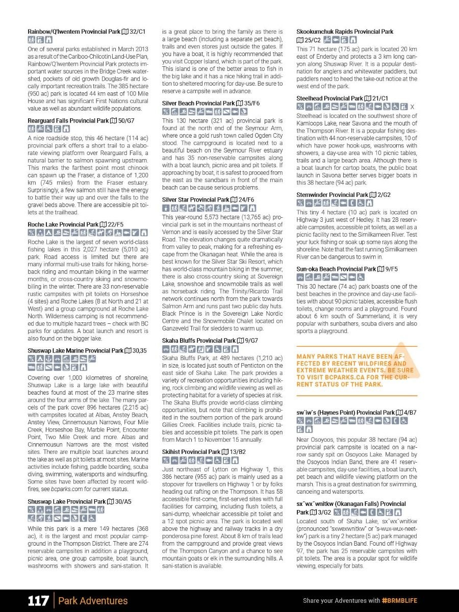
- Fishing Locations
- Hunting Areas
- Paddling Routes
- Parks & Campsites
- Rec Sites
- Trail Systems
- ATV Routes
- Snowmobile Areas
- Wildlife Viewing
- Winter Recreation
- Backcountry Huts & Cabins
- Community Profiles
- 6 Regions & 29 Communities
- Service Directory
- Accommodations
- Sales & Services
- Tours & Guides
- Adventure Index
- Map Index
- Trip Planning Tools
Specs
- Released: 2022
- ISBN #: 978-1-989175-20-0
- Pages: 268
- Dimensions: 21.5cm x 28cm (8.5" x 11")
- Maps: 51 maps @ 1:200,000
- Digital Format Available
East Kootenay BC map
has been added to your shopping cartAdventure in the East Kootenays with this map by your side
More info
C$15.95
(C$15.95 Incl. tax)

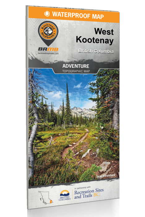
West Kootenay BC map
has been added to your shopping cartAdventure in the West Kootenays with this map by your side.
More info
C$15.95
(C$15.95 Incl. tax)

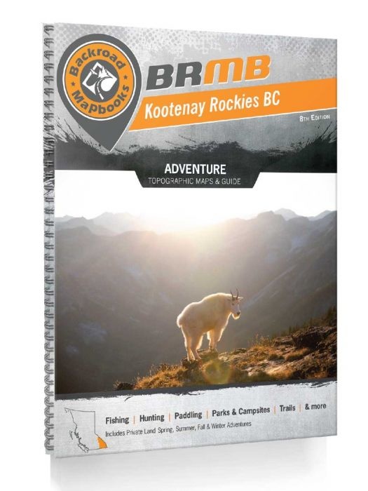
Kootenay Rockies BC Mapbook
has been added to your shopping cartWelcome to the 8th Edition of the Kootenay Rockies Backroad Mapbook!
More info
C$30.00
(C$30.00 Incl. tax)

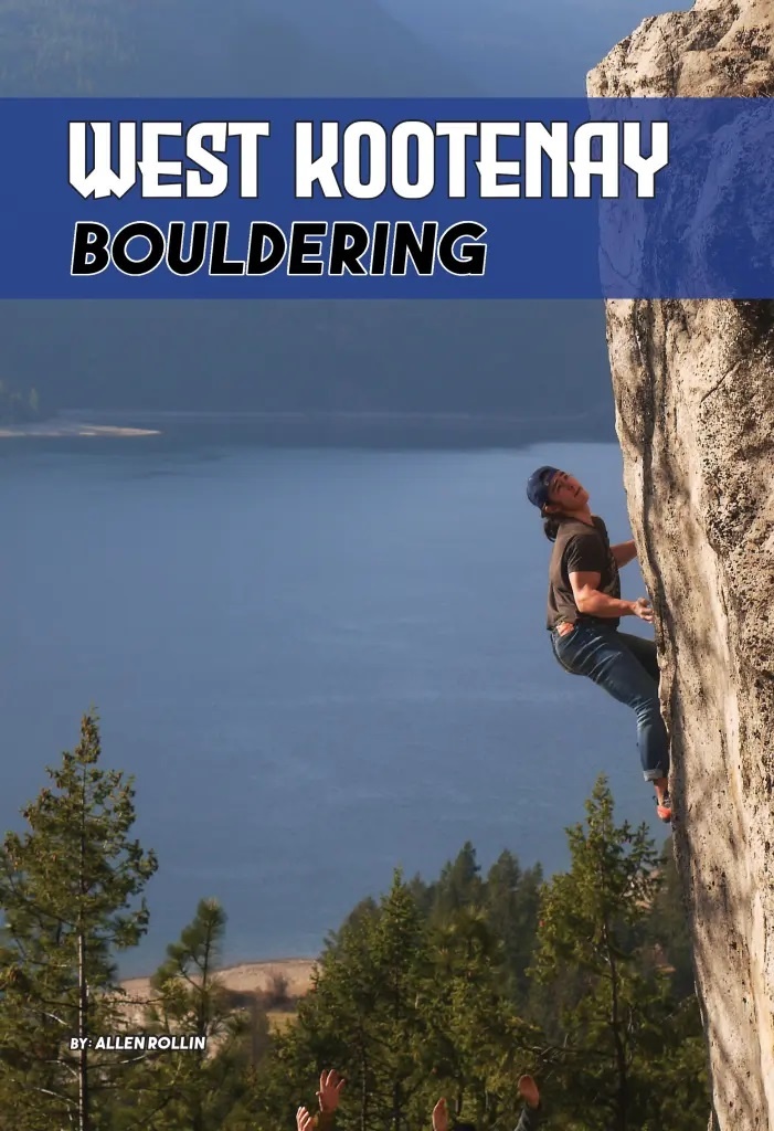
West Kootenay Bouldering Guidebook
has been added to your shopping cartThe first ever guidebook to Bouldering in the West Kootenays is here! 960 Problems and counting, this full color, 340 page book has all the information you need to sample the amazing bouldering in the region. A great addition to your guidebook collection
More info
C$35.00
(C$35.00 Incl. tax)

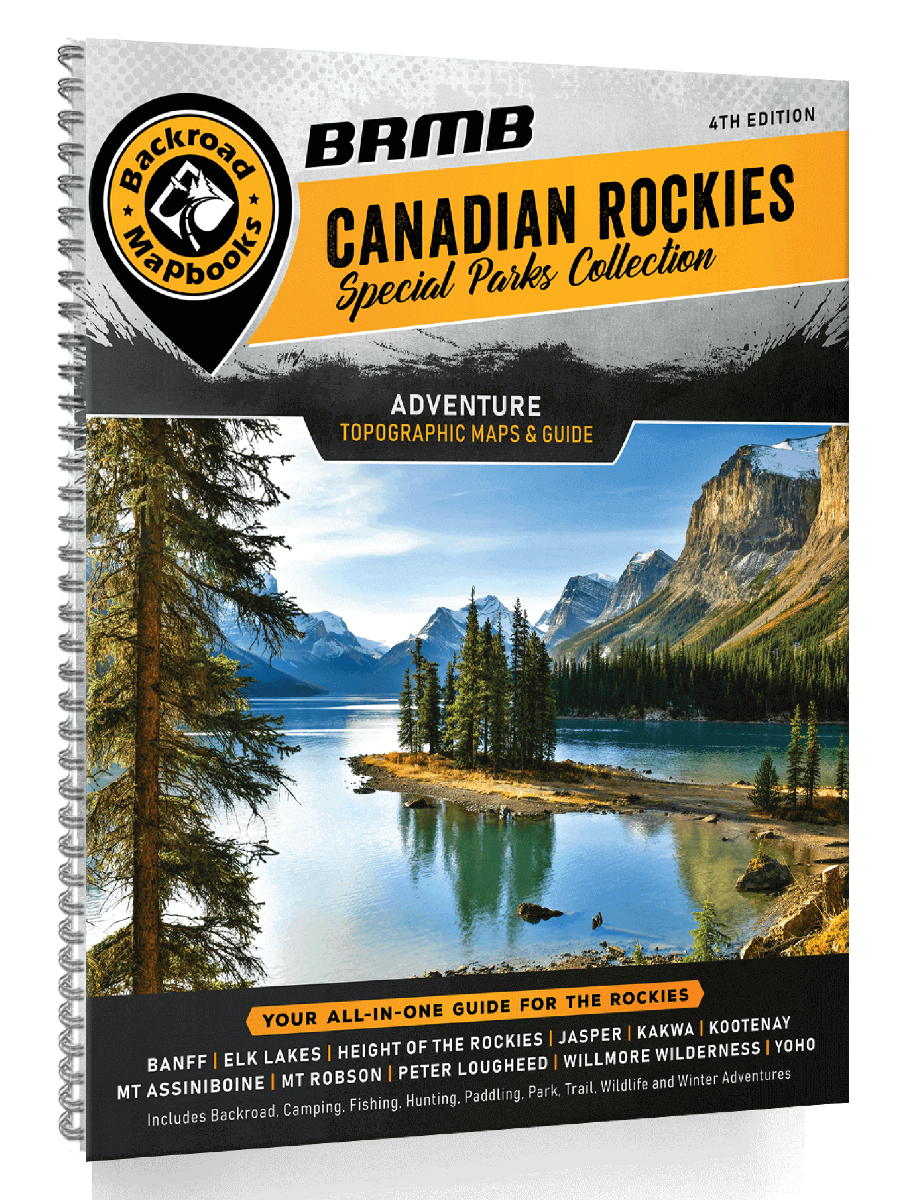
Canadian Rockies Mapbook
has been added to your shopping cartThis book focuses on the Canadian Rocky Mountain Parks an interconnected system of provincial and national parks covering more than 30,000 square kilometers (18,630 square miles) of one of Canada's most beautiful territories.
More info
C$30.00
(C$30.00 Incl. tax)
